We hold accuracy with very high regard in the work we do. Our goal is to reconstruct incidents as if we could have been there to watch it unfold. in our relentless pursuit for greater accuracy, we use state-of-the-art scientific tools such as LiDAR scanners, more commonly known as laser scanners, to obtain measurements with better than 1mm accuracy. We then use this data in our reconstructions.
Overview of Services
LiDAR (3-D Laser) Scene Scanning
Utilizing a laser scanner helps to measure roadway grading and crowning as well as pick up gouges or measure tire skid marks and other physical evidence. The roadway may change over time, but a scan will document the road in the same condition for posterity.
LiDAR (3-D Laser) Vehicle Scanning
Utilizing a laser scanner helps to measure vehicle crush as well as pick up material transfers or biomatter and other physical evidence. The vehicle maybe repaired or crushed, but a scan will document the vehicle in the same condition for posterity.
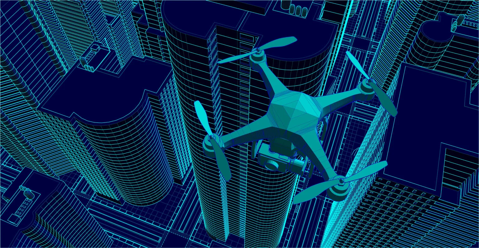
Drone Imagery and Mapping
Aerial drones provide the best viewpoint for photographing and mapping a site. Physical evidence can be photographed with a birds’ eye view to give true and accurate representation of evidence.
